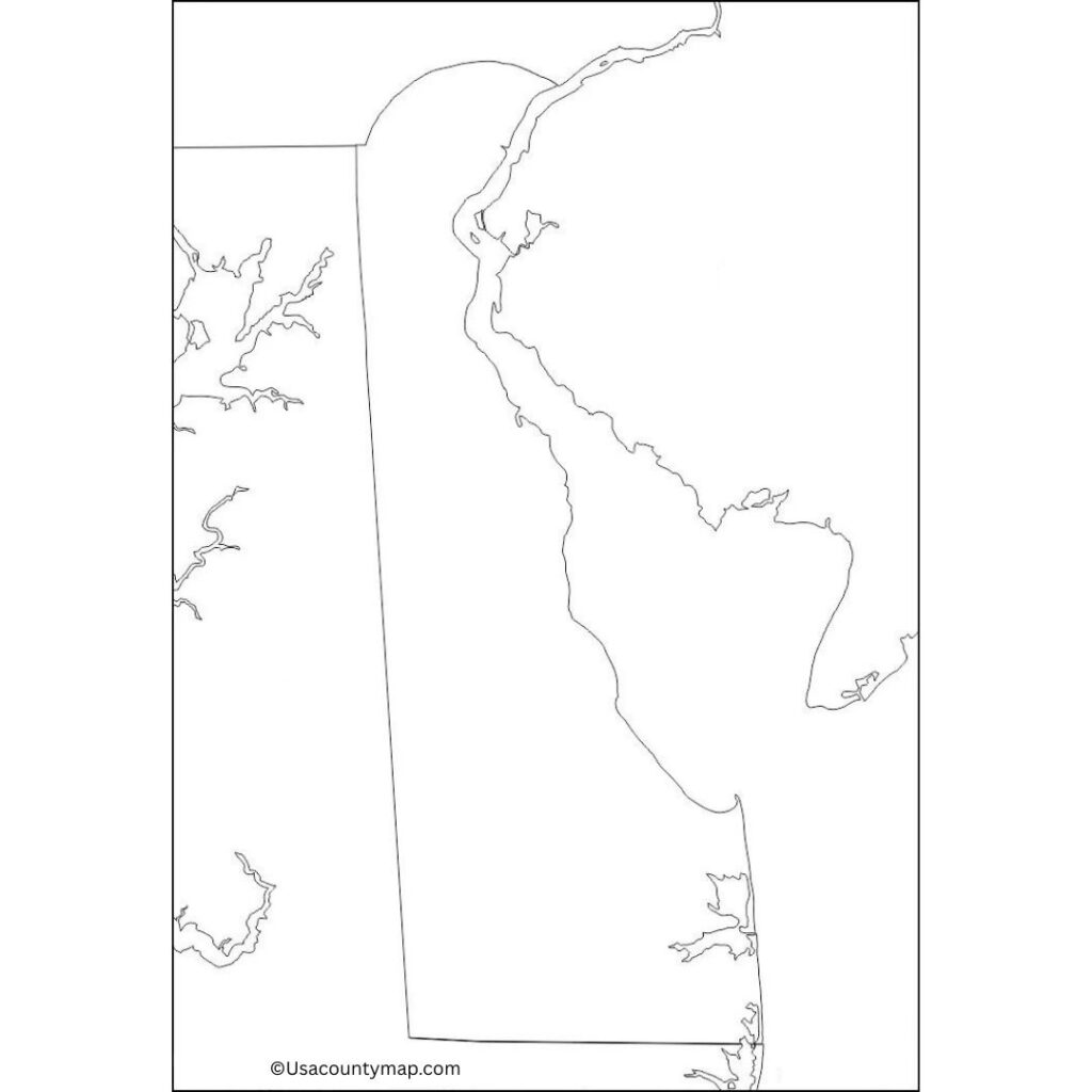
One of the most useful tools in this effort is a Blank Delaware County Map. This no-frills map also provides a clear outline of the state and is a great resource for students, teachers, and travelers. It can be used by learners to see how the state borders around it, the counties within, and the cities, as well as the rivers and natural landmarks. Whether for educational purposes, geography lessons, or planning trips across the great state, the Blank Delaware Map offers an interactive experience for deeper engagement with the geography of Delaware.

Students can label important cities like Dover (the state’s capital), Wilmington, and Newark, or geographical locations such as the Delaware River and the Atlantic shoreline in a Blank Delaware Map. Many educators use blank maps in the classroom to help students develop map-reading skills, learn state boundaries, and brush up on geography. You can use it to highlight routes, destinations, and points of interest in the state for travelers. The Blank Delaware Map provides an interactive platform for individuals to explore the state’s geography, landmarks, and cultural significance while also allowing for personalized customization.
Free Blank Delaware Map
Delaware, the second smallest state in the U. S., is situated on the East Coast. Delaware, known as the first state to ratify the U.S. Constitution, was also an important player in the American Revolution, so there is a lot to learn here. The state is known for its beautiful beaches along the Atlantic coast, such as Rehoboth Beach and Bethany Beach.

Delaware is home to a vibrant economy, bolstered by sectors including finance, agriculture, and manufacturing. Dover, the state capital, and Wilmington, the state’s biggest city, are two of the major economic and cultural centers in the state.
| City Name | Population | County | Area (sq mi) | ZIP Code(s) | Additional Information |
|---|---|---|---|---|---|
| Wilmington | 70,000+ | New Castle | 18 | 19801–19810 | Delaware’s largest city, known for its historic district, cultural institutions, and waterfront |
| Dover | 38,000+ | Kent | 23.3 | 19901–19904 | The state capital, known for its historical sites, government buildings, and annual NASCAR events |
| Newark | 33,000+ | New Castle | 10 | 19702–19711 | Home to the University of Delaware, a vibrant college town with a growing economy and cultural scene |
| Middletown | 23,000+ | New Castle | 17 | 19709 | A rapidly growing suburban city with a mix of residential and commercial development |
| Smyrna | 10,000+ | Kent | 6 | 19977 | Known for its historic downtown, agricultural heritage, and proximity to Delaware Bay |
| Georgetown | 7,000+ | Sussex | 5.8 | 19947 | The county seat of Sussex, known for its charming downtown, local businesses, and cultural events |
| Rehoboth Beach | 1,500+ | Sussex | 1.3 | 19971 | A popular beach resort town known for its boardwalk, summer tourism, and vibrant arts scene |
| Lewes | 3,000+ | Sussex | 1.4 | 19958 | A historic town located near the Delaware Bay, known for its colonial architecture and waterfront |
| Milford | 10,000+ | Sussex | 8.6 | 19963 | A growing town with a charming historic district, popular for outdoor activities and festivals |
| Seaford | 7,500+ | Sussex | 5.7 | 19973 | A small city known for its agriculture, local businesses, and proximity to the Nanticoke River |
Printable Delaware Map worksheet
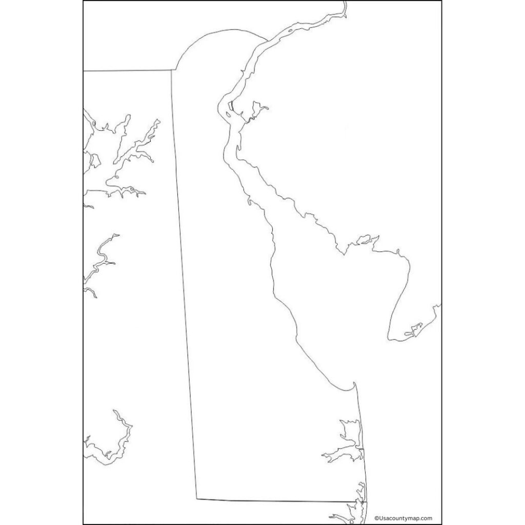
For teaching purposes, this Delaware map worksheet is an essential tool. Generally, the map includes a blank (or partially labeled) map of the state where students will label important cities in your state, like Dover, Wilmington, and Newark; the major rivers like the Delaware River, etc.

Delaware map worksheets are frequently used in classrooms by teachers to practice reading maps, find out information about the state’s counties, or learn about its geographical features. Where students need to color regions, situations to fill in some questions, some landmarks to split, etc.
Delaware Map Outline PDF
A Blank Delaware map outline is a clear outline of the state’s borders — great for printing educational intent. It enables Delaware kids and students to interact with its geography by naming and labeling major cities like Dover, Wilmington, and Newark on an outline map showing, for example, the Delaware River and Atlantic Ocean.

A blank Delaware map is a great way to practice map-reading skills, work on spatial awareness, and learn about the state’s geography and political landscape. This interactive tool is commonly used in classrooms to teach students about the unique geographic features of Delaware.
