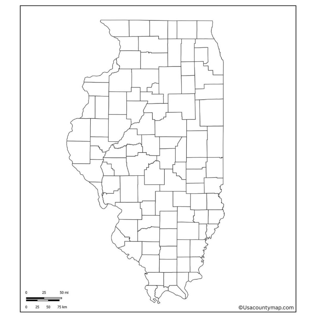
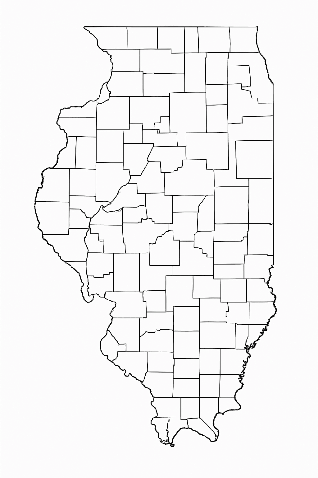
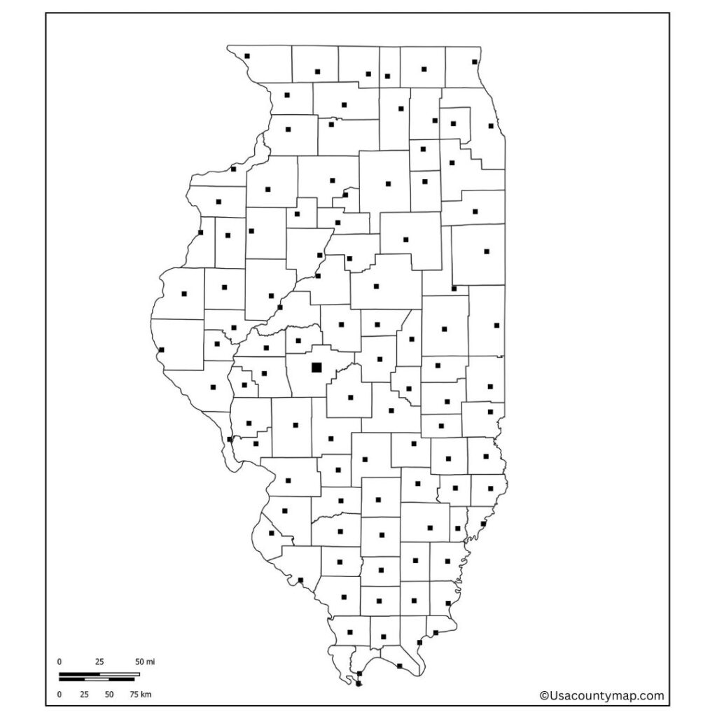
Anyone who wants to learn or teach about the geography of the state of Illinois would find a Blank Illinois County map a very useful resource. A blank map is focused on the state outline without any pre-existing cities, landmarks, or geographical features that users can fill up with their labels based on their requirements. In the classroom, a Blank Illinois Map is commonly employed by teachers and students for geography lessons, quizzes, and projects, promoting hands-on learning and reinforcing spatial awareness. It provides students with an opportunity to label major cities (including Chicago, Springfield, and Peoria) and major rivers (including the Mississippi and Illinois Rivers).

In addition, it can be used for educational assignments or mapping activities to make the county boundaries, highways, and regions associated with them stand out as well. Planners, students, and trend researchers can use the option of a Blank Illinois Map to chart their travels, highlight regions of interest, or track statistics throughout particular states.

As with all of these, they can be used to visualize lots of different types of information: historical data, political information, demographic information, etc. Ideal for hanging in a classroom or as the foundation of a digital activity, the Blank Illinois Map can be used to achieve numerous educational and career goals. It’s a blank canvas that enacts the geography of Illinois through active engagement.
Free Blank Illinois Map
Illinois, a Midwestern state in the United States, is known for its varied economy, colorful history, and lively cities. The state borders Indiana, Kentucky, Missouri, Iowa, and Wisconsin, and is bordered on the west by the Mississippi River. Chicago, the biggest city, is an international center of finance, culture, and transportation.

The state capital, Springfield, is notably the hometown of Abraham Lincoln. Illinois has a robust agricultural production base of corn, soybeans, and dairy products. Its natural setting is gorgeous as well, with forests, rivers, and prairies, making it both an economic juggernaut and a beautiful place to visit.
| City Name | Population | County | Area (sq mi) | ZIP Code(s) | Additional Information |
|---|---|---|---|---|---|
| Chicago | 2,700,000+ | Cook | 234 | 60601–60827 | Largest city in Illinois; major U.S. hub for finance, culture, and industry. |
| Aurora | 180,000+ | Kane, DuPage | 45.8 | 60502–60598 | Second-largest city; known for historic architecture and family-friendly living. |
| Naperville | 150,000+ | DuPage, Will | 39.2 | 60540–60567 | Recognized for its high-quality schools and livability. |
| Joliet | 150,000+ | Will | 65.6 | 60431–60436 | Major industrial and logistics center near Chicago. |
| Rockford | 145,000+ | Winnebago | 61.9 | 61101–61109 | Known for manufacturing, museums, and the Rock River. |
| Springfield | 115,000+ | Sangamon | 67.2 | 62701–62796 | State capital; home of Abraham Lincoln’s historic sites. |
| Elgin | 115,000+ | Kane, Cook | 38.6 | 60120–60124 | Rapidly growing suburb with a diverse community. |
| Peoria | 110,000+ | Peoria | 50.2 | 61602–61656 | Located on the Illinois River; healthcare and education hub. |
Printable Illinois Map worksheet
For Educators: An Illinois map worksheet is a handy teaching resource that can assist students in learning about the geography of Illinois while validating their knowledge interactively and engagingly. These worksheets usually consist of blank or partially filled-out maps and require students to populate them with important cities such as Chicago, Springfield, and Peoria, rivers, counties, and borders.

The Illinois map worksheet is an activity that teachers can use to improve their students’ map-reading skills, spatial awareness, and knowledge of the physical and political features of the state. Great for classroom activities, homework, or assessments, this worksheet provides students of all grade levels the opportunity to learn about Illinois in a fun, interactive way.
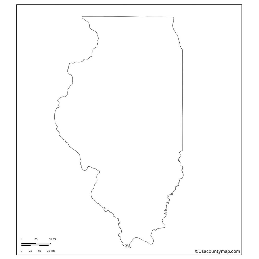
Illinois Map Outline PDF
The use of an Illinois map outline provides a simple tool that can be used in education and planning. It is relatively featureless but lets users add cities, counties, rivers, and landmarks to suit their needs. An Illinois map outline, commonly used even in classrooms, allows students to practice adding labels for significant localities, including Chicago, Springfield,d and the Mississippi River.

Also supports learning in geography, history, and civics as it encourages hands-on engagement. The outline format also makes it apt for projects, quizzes, travel planning, and data visualization, giving customizing options while learning about the geographical features of Illinois.
