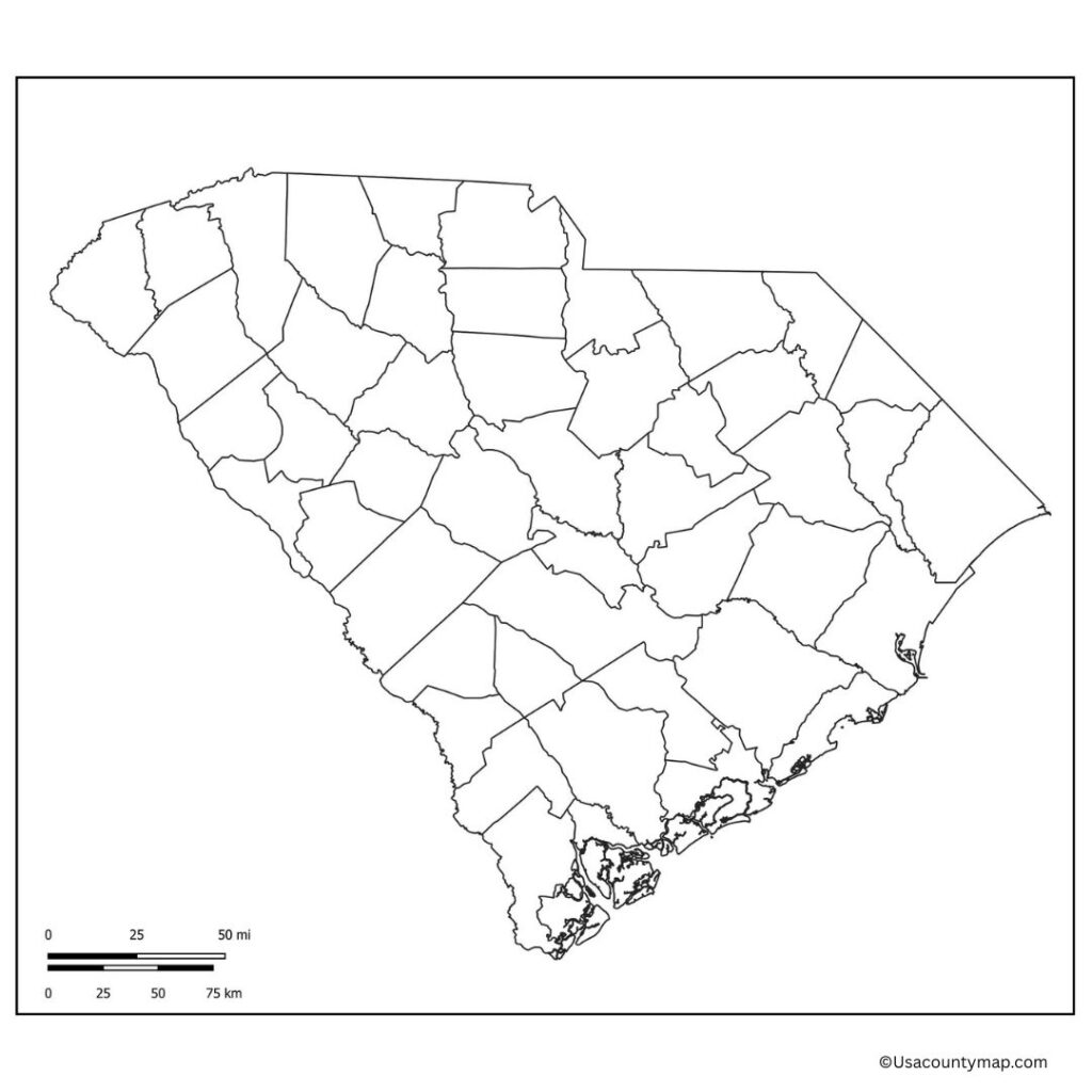
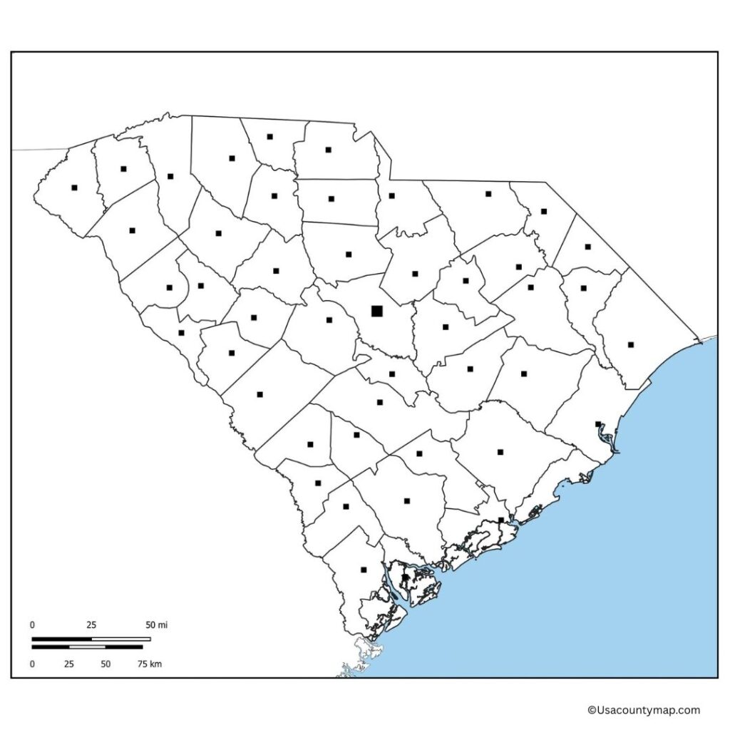
A Blank South Carolina County Map is an editable map template that allows you to draw, label, or highlight cities, counties, landmarks, or any other geographic feature within the state. This effort is particularly helpful for students, teachers, and the curious who want to familiarize (or quiz) themselves on the geography of South Carolina. Users also get an unmarked South Carolina blank map so that they can mark important places in South Carolina such as Charleston, Columbia, and Greenville.

Educators can use such maps in classrooms to supplement lessons in history, geography,y, and civics, while travelers or planners might find them useful for marking routes, planning tri, ps, or identifying regions. Given the historical and natural wonders that South Carolina has to offer — from the Blue Ridge Mountains to the Atlantic coastline — a blank map prompts users to interact more deeply with South Carolina’s physical and cultural world. Printable experiences you can use to learn about the Palmetto State, whether printed for worksheets, quizzes, or creative activities like coloring and drawings. Its ease of use makes it such a force for academic and personal applications.
Free Blank South Carolina Map
It is bordered by North Carolina, Georgia, and the Atlantic Ocean, and has everything from stunning beaches (Myrtle Beach, anyone?) to the majestic Blue Ridge Mountains. During the Civil War, the state was significant in American history! Columbia, the capital, and Charleston, a historic port city, are culture and economy centers.

Agriculture, tourism, m, and manufacturing support South Carolina’s economy. The state draws visitors and residents alike with its warm climate and Southern hospitality, as well as its natural beauty and historical significance.
| City Name | Population | County | Area (sq mi) | ZIP Code(s) | Additional Information |
|---|---|---|---|---|---|
| Columbia | 137,541 | Richland | 135 | 29201–29292 | State capital; home to University of South Carolina |
| Charleston | 151,612 | Charleston | 127.5 | 29401–29425 | Historic port city; known for colonial architecture |
| North Charleston | 115,382 | Charleston | 77 | 29405–29420 | Major industrial center; close to Charleston International Airport |
| Mount Pleasant | 95,393 | Charleston | 53 | 29464–29466 | Fast-growing suburb; known for parks and schools |
| Rock Hill | 74,372 | York | 43 | 29730–29734 | Part of Charlotte metro area; strong educational presence |
| Greenville | 72,310 | Greenville | 28.8 | 29601–29617 | Economic hub in the Upstate; vibrant downtown |
| Summerville | 52,549 | Dorchester | 18.1 | 29483–29486 | Known for azalea blooms and historic charm |
| Sumter | 42,976 | Sumter | 26.7 | 29150–29154 | Military-friendly; near Shaw Air Force Base |
| Florence | 39,899 | Florence | 21.5 | 29501–29506 | Regional medical and retail center |
| Spartanburg | 38,401 | Spartanburg | 19.2 | 29301–29307 | Historic railroad town; part of the I-85 business corridor |
Printable South Carolina Map worksheet
A South Carolina map worksheet is a helpful educational tool designed to enhance students’ understanding of the state’s geography. It typically includes a blank or labeled outline of South Carolina, allowing learners to identify and mark cities, counties, rivers, and landmarks. Teachers often use these worksheets in classrooms to support lessons in history, social studies, and geography.

Activities may include labeling major cities like Columbia and Charleston, tracing borders, or coloring different regions. A South Carolina map worksheet promotes interactive learning, improves map-reading skills, and encourages students to explore the state’s physical and political features engagingly and visually.
South Carolina Map Outline PDF
This is a basic, simplified outline of South Carolina. There are no labels or markings. This map is a great tool for educational activities for students to label, color, and identify features on a map while learning about the geography of the state. The outline shows South Carolina’s borders with North Carolina, Georgia, and the Atlantic Ocean.

Users can flag important cities like Columbia and Charleston or outline the state’s varied regions. Available as printable outlines, the South Carolina map can be used in classrooms, project assignments, or for personal study making it a versatile tool for learning about the layout and features of the state.
