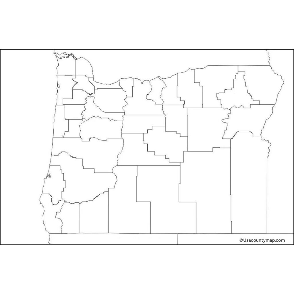
A Blank Oregon County Map is a great way to keep learning, with a clear, unmarked outline of the state to help students, teachers, and travelers interact with the geography of Oregon more directly. This type of map is a perfect resource to get started with the various regions in Oregon, from the coastline to mountain ranges and rivers to major cities. For example, the Blank Oregon Map can be utilized in different classroom settings where students would need to label major cities like Portland, Salem, Eugene, etc, as well as major natural landforms like the Cascade Range and Crater Lake.

The Blank Oregon Map is a useful tool for teachers to create fun exercises that teach students how to read maps, spatial awareness, and state borders. It’s also great for individuals who may want to mark areas they want to visit, follow travel routes, or investigate political boundaries in Oregon. A Blank Oregon Map can be a great tool, whether it’s for a school project, planning out travel, or simply learning about the state. It is a must-have when studying Oregon geography with its versatility and ability to be used for coloring, label reading, and quiz taking.
Free Blank Oregon Map [OR County Map]
Oregon is a diverse state located in the Pacific Northwest region of the United States. Known for its stunning landscapes, Oregon features everything from beautiful coastlines and dense forests to rugged mountains and high deserts. The state’s largest city, Portland, is famous for its vibrant arts scene, diverse culture, and eco-friendly lifestyle.

Oregon is also home to natural wonders like Crater Lake, the deepest lake in the U.S., and Mount Hood, a popular destination for skiing. With a strong economy based on technology, agriculture, and tourism, Oregon offers a rich cultural heritage and a wealth of outdoor activities.
| City Name | Population | County | Area (sq mi) | Zip Code | Additional Information |
|---|---|---|---|---|---|
| Portland | 654,741 | Multnomah | 145 | 97201 | Largest city in Oregon, known for arts and culture |
| Eugene | 176,654 | Lane | 43 | 97401 | Home to the University of Oregon |
| Salem | 174,365 | Marion | 49 | 97301 | State capital, center of government |
| Gresham | 113,475 | Multnomah | 23 | 97030 | Suburb of Portland, growing city |
| Beaverton | 99,802 | Washington | 19 | 97005 | Suburb of Portland, known for tech companies |
| Hillsboro | 105,000 | Washington | 25.5 | 97123 | Part of Portland's metro area |
| Bend | 100,421 | Deschutes | 33.2 | 97701 | Popular destination for outdoor activities |
| Medford | 85,000 | Jackson | 26.3 | 97501 | Southern Oregon's largest city |
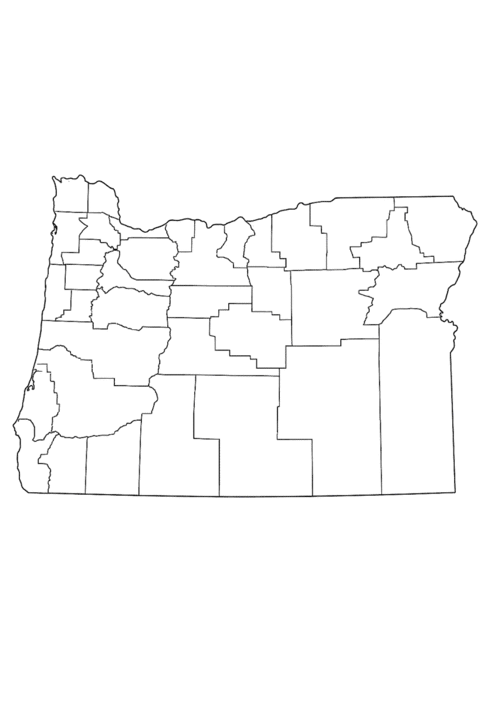
Printable Oregon Map worksheet
An Oregon map worksheet is an educational tool that is commonly used to help students and geographic learners explore the geography of Oregon. Its typical format includes a blank or partially labeled map on which users can identify and mark major cities, rivers, mountain ranges, and other landmarks.

Read on to learn more about the Oregon map worksheet Used in geography lessons such as map reading skills and spatial orientation. Students can label important cities, including Portland, Salem, and Eugene, as well as natural landmarks, such as the Columbia River and Cascade Range. These worksheets, promote a hands-on approach to learning, making studying Oregon’s geography interactive and fun to do!
Oregon Map Outline PDF
The outline of the Oregon map represents its borders and shape without any labels or markings. It’s a wonderful teaching tool and is frequently utilized in classrooms to help students become familiar with Oregon’s geography. Teachers guide students, asking them to label major cities like Portland and Salem, and major natural features like the Cascade Mountains, Crater Lake, and the Columbia River.

This is of course also used for coloring activities and spatial awareness as well. In this approach, using the outline to guide them helps learners get a better sense of the state’s shape and develop a feel for reading maps more actively.
