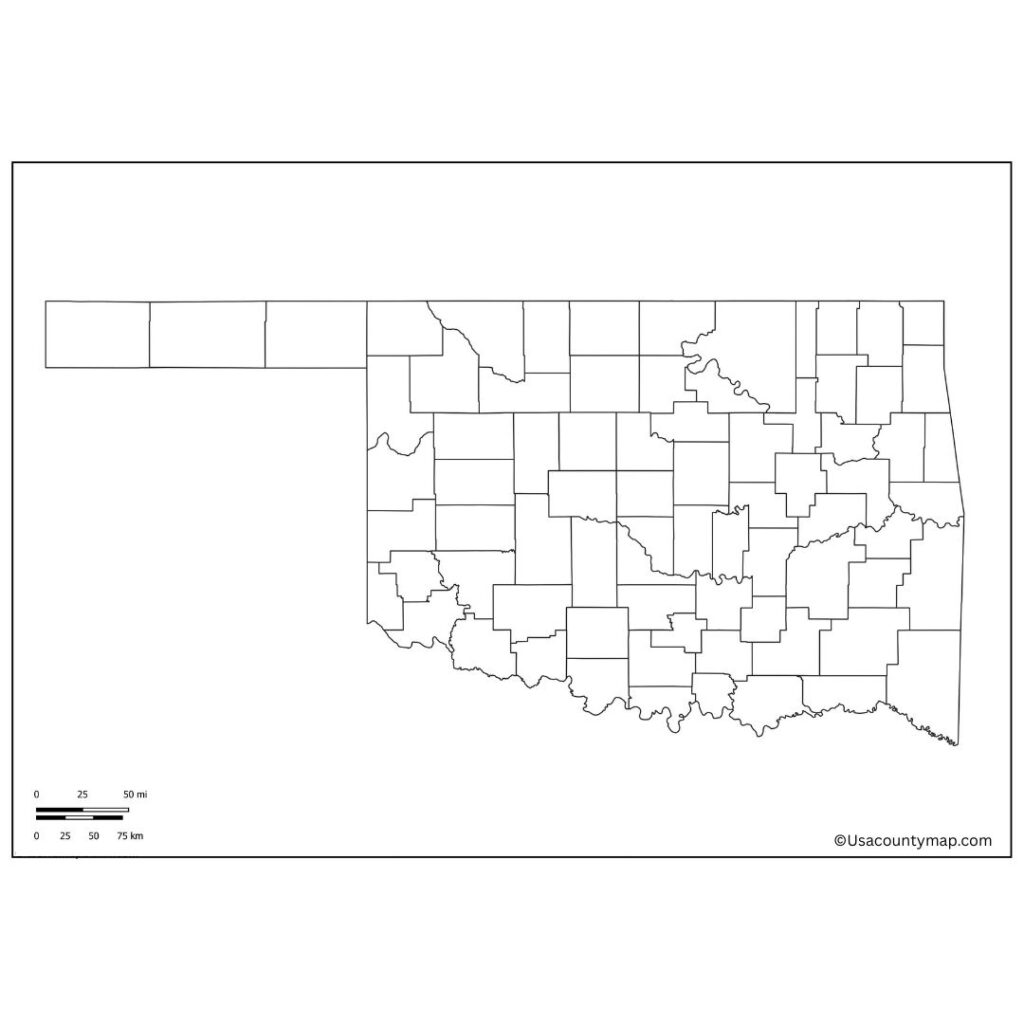
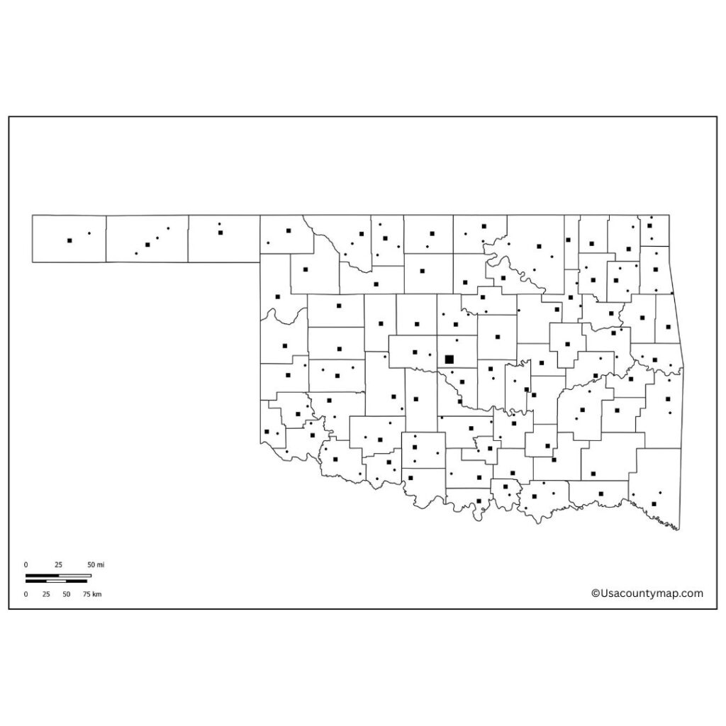
A Blank Oklahoma County Map is a useful educational and planning tool, providing a simplified, unmarked outline of the state of Oklahoma. This kind of map, however, allows an open-source user to see much of the geography of Oklahoma clearly and customize it for classrooms, research, travel planning as they go. In social studies and geography lessons, teachers commonly employ a Blank Oklahoma Map for students to identify and label major cities such as Oklahoma City, Tulsa, and Norman along with rivers, mountain ranges, and neighboring states. This is a great way to help students develop spatial awareness and an understanding of the layout of the state in a physical, tactile way.

A Blank Map of Oklahoma is also useful for travelers and researchers who want to highlight routes, natural landmarks, or historical sites, without the distraction of pre-filled information. Some homeschoolers and parents can take advantage of this with at-home learning activities that involve children learning state geography by or labeling and coloring maps. A Blank Oklahoma Map is also displayed as a base for quizzes, projects in school, and presentations. Whether you are printing it out or using it as a digital tool, this tool is a great way to be creative whether you are interested in learning more about Oklahoma’s borders, layout, or geographical features.
Free Blank Oklahoma Map
Oklahoma is a state located in South Central United States that is diverse and vibrant. Famed for its diverse Native American culture, rolling plains and busy cities, Oklahoma is a mixture of history, culture and wealth of natural beauty. The state’s capital and largest city, Oklahoma City, serves as a center for energy, aviation and arts.

In another major city, Tulsa, you can see a blend of modern development and historic charm. Oklahoma is also known for its tornado activity, as it is part of Tornado Alley. Oklahoma boasts beautiful scenery, a robust agricultural foundation and a rich cultural heritage, making it a special place to settle down.
| City Name | Population | County | Area (sq mi) | Zip Code | Additional Information |
|---|---|---|---|---|---|
| Oklahoma City | 655,057 | Oklahoma | 606 | 73101 | State capital, largest city in Oklahoma |
| Tulsa | 413,066 | Tulsa | 196.9 | 74101 | Known for its art deco architecture |
| Norman | 128,026 | Cleveland | 189 | 73069 | Home to the University of Oklahoma |
| Edmond | 94,054 | Oklahoma | 88 | 73003 | Suburb of Oklahoma City, fast-growing |
| Lawton | 94,227 | Comanche | 86 | 73501 | Known for Fort Sill, military base |
| Broken Arrow | 113,540 | Tulsa | 61.8 | 74011 | Suburb of Tulsa, one of the largest cities in Oklahoma |
| Stillwater | 49,191 | Payne | 24.1 | 74074 | Home to Oklahoma State University |
| Midwest City | 57,239 | Oklahoma | 20 | 73110 | Suburb of Oklahoma City, military presence |
| Moore | 62,103 | Cleveland | 22.3 | 73160 | Known for tornado events, suburb of Oklahoma City |
Printable Oklahoma Map worksheet
An Oklahoma map worksheet can be used as an educational tool to help students understand the geography of the state, the cities, and the landmarks. They typically have a blank or partially labeled map that learners can refer to so that they can fill in and label important places like Oklahoma City, Tulsa, rivers, counties and states that border Oklahoma.

Teachers typically use these worksheets in geography and social studies lessons to help students reinforce map-reading skills and spatial awareness. For students, there are lots of fun hands-on things to do, from coloring to labeling to quizzes. One tool for helping students to learn Oklahoma state geography is using an Oklahoma map worksheet.
Oklahoma Map Outline PDF
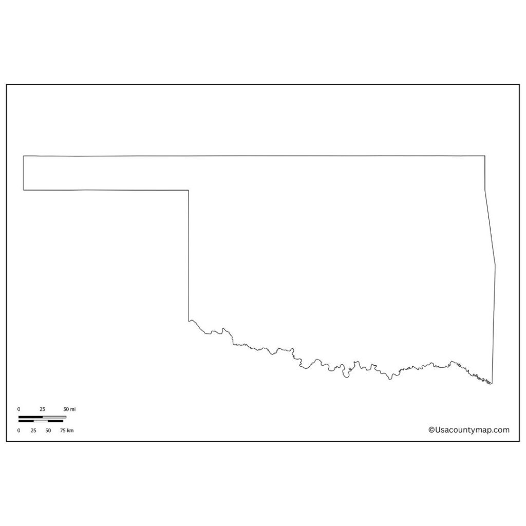
A simple map of state borders & shape. It is a multipurpose tool, used in education, planning, and creative projects. Many Oklahoma classrooms have an outline map of the state that teachers use to plot out lessons in geography, history and civics, letting students label cities, rivers, counties and landmarks.

The outline shows where the state lies relative to the rest of the country, where it borders Texas, Kansas, Missouri, Arkansas, Colorado, New Mexico. An Oklahoma map outline is perfect for hands-on learning and developing geographic knowledge, whether for coloring, tracing, or mapping exercises.
