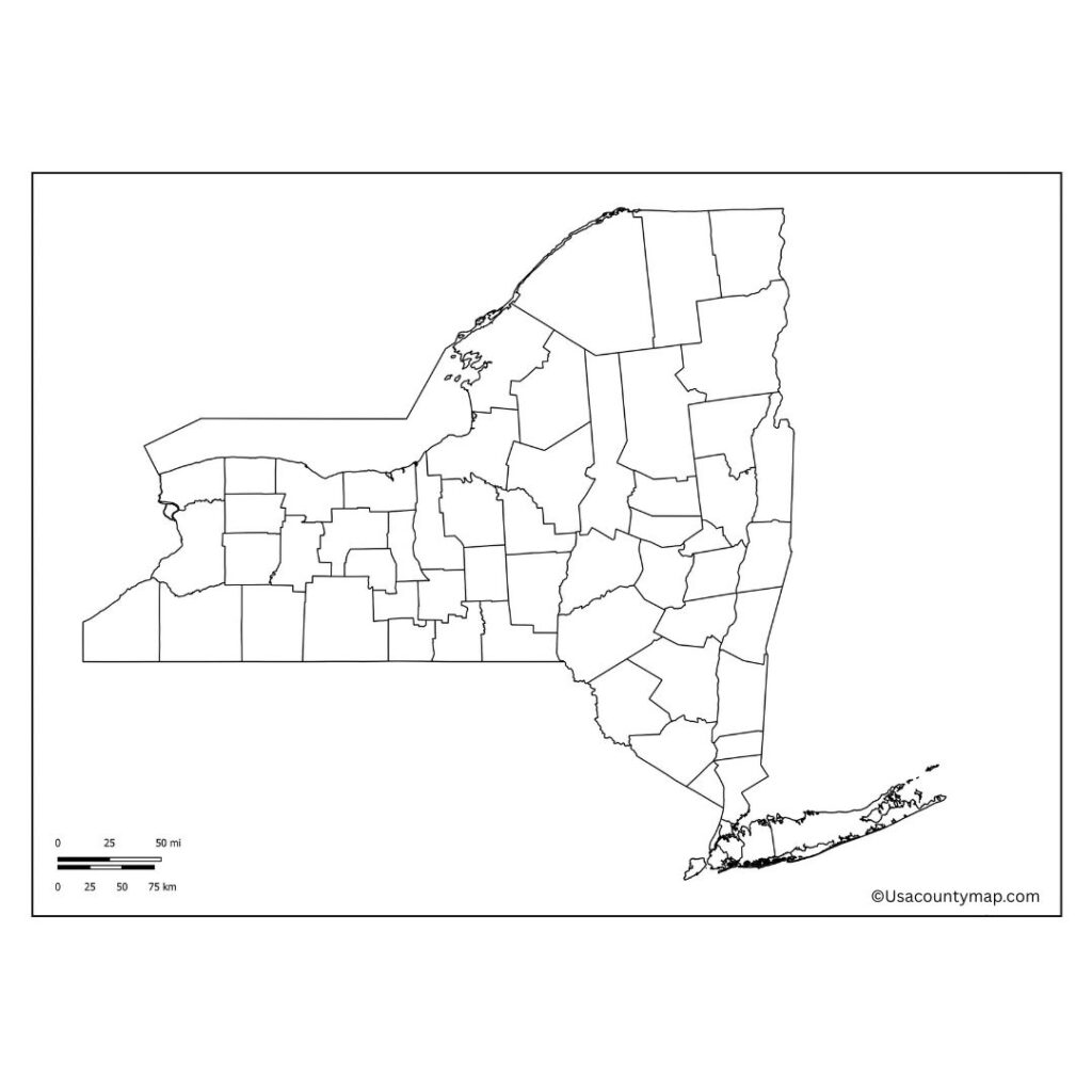
A Free Printable Blank New York County Map is a blank map that gives people a sense of space and geography 100% of the time. This blank map of New York State is a clean slate and allows users to label cities, rivers, lakes, mountains, and any other significant geographic or political features. Interactive learning and greater engagement with the state’s geography can help students, whether used in classrooms to test map skills, homeschool contexts, or travel planning references. There is no state more diverse than New York, from the tall buildings and urban sprawl of New York City to the gently sloping mountains of the Adirondacks, from the musicality of Buffalo to the long and storied history of Albany.

The Blank New York Map lets users see how different regions connect across counties and major highways and how waterways such as the Hudson River and the Great Lakes shape the geography. It’s also a useful tool for historical studies, in which users can map out territorial claims, colonial borders, or transportation infrastructure. With its variety and versatility, a Blank New York Map is an ideal resource for exploration, research, and creativity, allowing users to gain an extensive understanding of the Empire State’s cities and neighborhoods.
Free Blank New York Map [NY County Map]
New York is a diverse and dynamic state in the northeastern United States. The state is, of course, home to the iconic New York City, but also has some gorgeous nature with the Adirondack Mountains, Finger Lakes, and Niagara Falls. New York has immense historical significance as one of the original thirteen colonies.

It’s a key center for finance, culture, education, and tourism.” The state is home to premier universities, museums, MS, and landmarks. Outside of busy cities, New York has quaint small towns and rustic countryside, making it a unique juxtaposition of city life and open space among its residents and visitors.
| City Name | Population | County | Area (sq mi) | ZIP Code(s) | Additional Information |
|---|---|---|---|---|---|
| New York City | 8,467,513 | New York (5 boroughs) | 303 | 10001–11697 | Largest city in the U.S., includes Manhattan, Brooklyn, etc. |
| Buffalo | 276,807 | Erie | 52.5 | 14201–14280 | Located on Lake Erie; known for architecture and sports |
| Rochester | 211,328 | Monroe | 37 | 14602–14694 | Known for Kodak and education institutions |
| Yonkers | 211,569 | Westchester | 20 | 10701–10710 | Just north of the Bronx; along the Hudson River |
| Syracuse | 146,103 | Onondaga | 26 | 13201–13290 | Central NY; home to Syracuse University |
| Albany | 100,826 | Albany | 21.8 | 12201–12288 | State capital of New York |
| New Rochelle | 82,288 | Westchester | 10.7 | 10801–10805 | Suburban city near NYC; coastal town |
| Mount Vernon | 67,345 | Westchester | 4.4 | 10550–10553 | Densely populated suburb; borders the Bronx |
| Schenectady | 67,047 | Schenectady | 11.1 | 12301–12309 | Part of the Albany metro area; rich industrial history |
| Utica | 64,521 | Oneida | 17 | 13501–13599 | Gateway to the Adirondacks; historical industrial center |
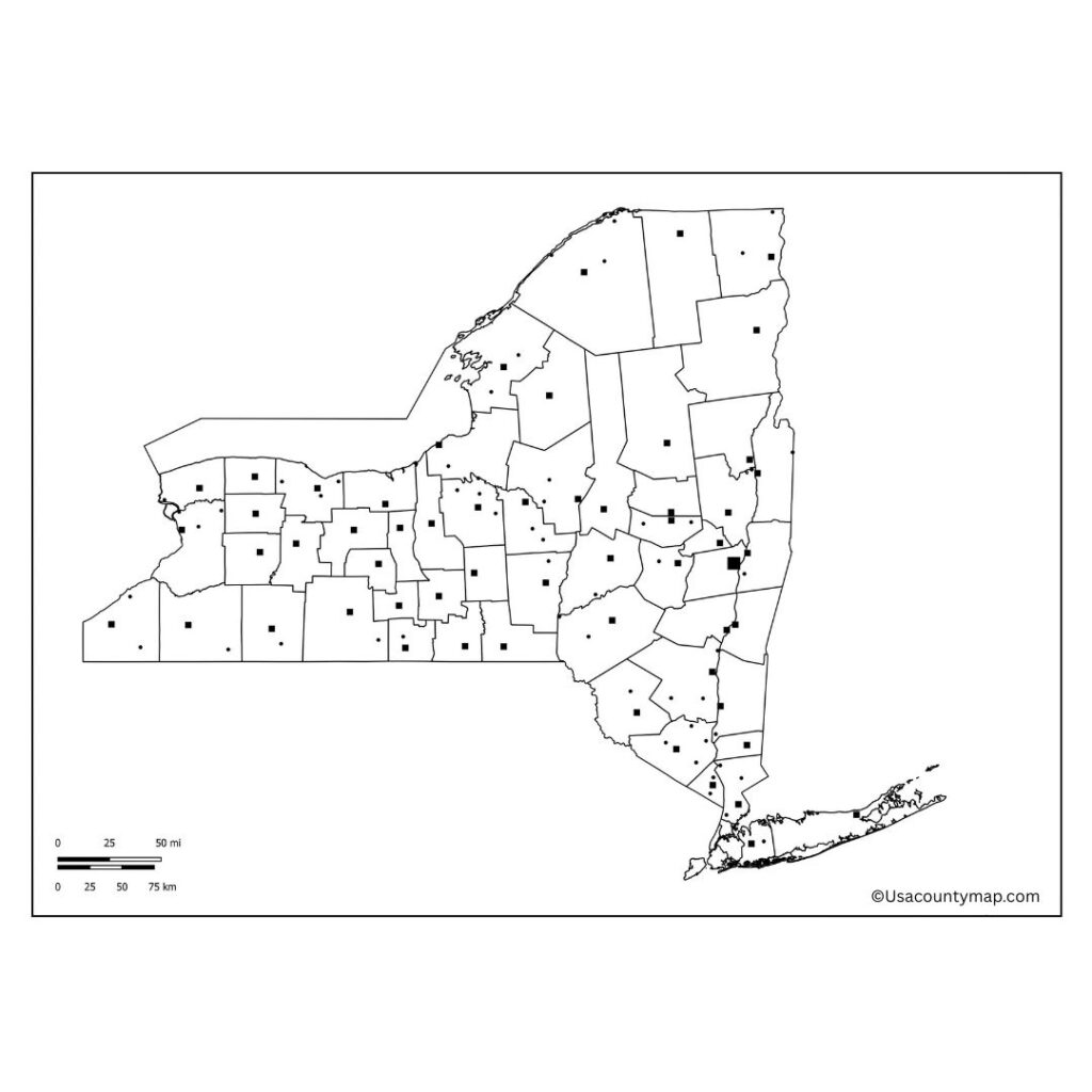
Printable New York Map Worksheet
A New York map worksheet is a great worksheet for students who are learning about where things are in the Empire State. These worksheets often include blank or labeled maps, exercises for identifying major cities, rivers, and regions, and activities encouraging learners to examine New York’s physical and political boundaries.

A New York map worksheet can provide resources in the classroom to assist with history, social studies, and geography lessons. These worksheets must be interactive and keep the students engaged, from finding Albany to following the course of the Hudson River to locating the Adirondack Mountains. Ideal to test your knowledge and establish a solid base.
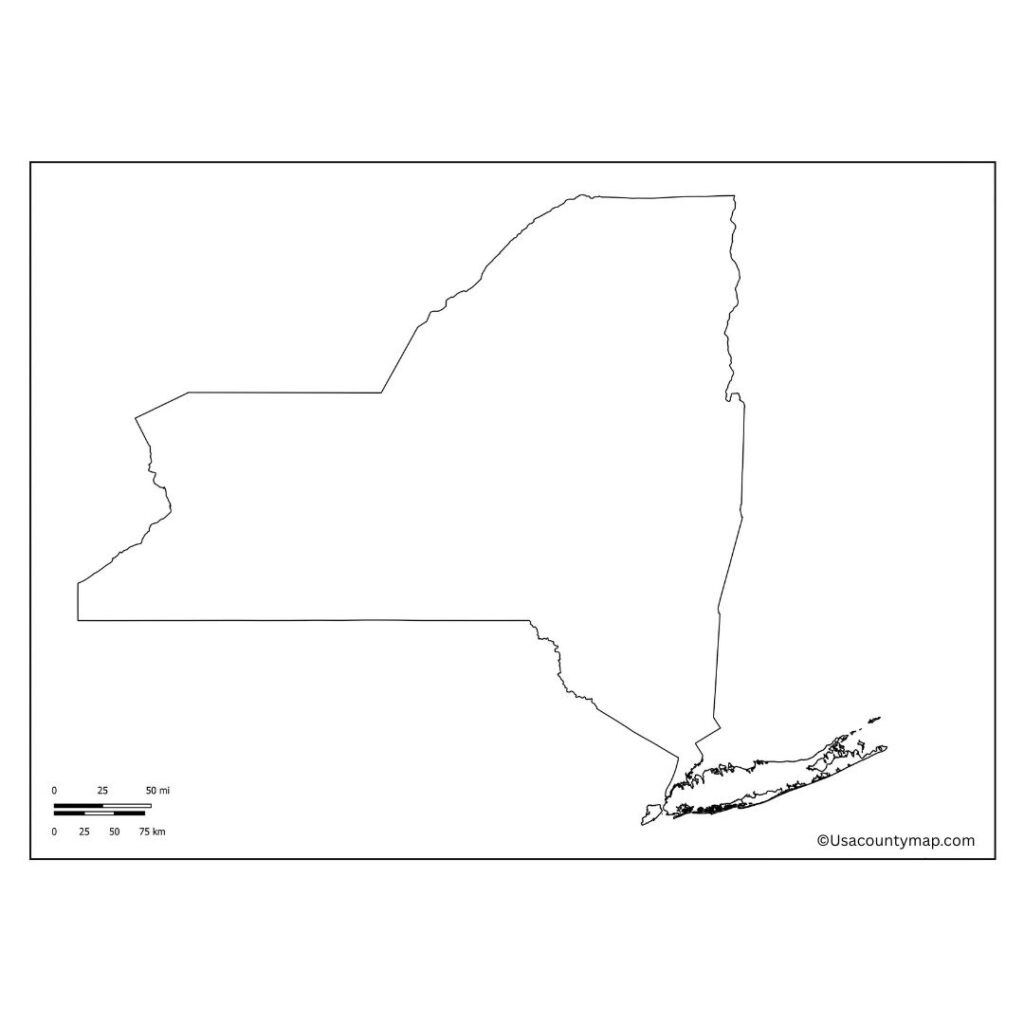
New York Map Outline PDF
A New York map outlines a simple representation of the state’s borders without interior markings or detail. Educators often use it in classrooms to teach students about proper geographical location names, bordering states, and the names of major cities.

The outline Map is great for labeling exercises, coloring activities, and learning regions — Long Island, the Hudson Valley, Western New York, etc. Teachers often use an outline of a New York map to educate students about spatial relationships and the unique shape of the state. You can use this tool to create customized maps that can have themes around transportation, history, population, etc.
