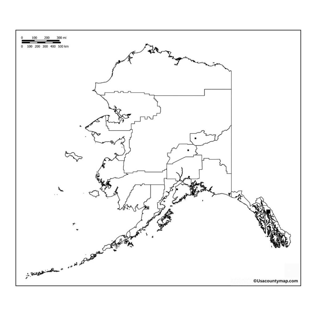
For geographers, travelers, and students interested in the unique geography of Alaska, a Blank Alaska Map is the perfect educational tool. The largest state in the U. S., Alaska, is famous for its sprawling wilderness, incredible mountain ranges like the Alaska Range, and its flared coastline along the Pacific Ocean. In addition to being a tool for identifying and naming important cities like Anchorage, Juneau, and Fairbanks, a Blank map of Alaska also helps you name important natural features such as the Bering Sea, the Arctic Ocean, and the Yukon River.

In classrooms, a Blank Alaska Map is one of the common tools that teachers use to facilitate students’ understanding of the state’s land and policies. Perfect for interactive lessons, quizzes, and activities focused on Alaska’s region of varied climates, cool tundras, temperate rainforests, and volcanic islands. Aside from visiting breathtaking landscapes, the Blank Alaska Map brings a chance to encounter the culture-rich history of the natives here. A Blank Alaska Map is an essential tool for anyone looking to explore, plan their trip, or work on cartography projects related to the last frontier of the USA. It promotes active learning and sharpens spatial awareness of Alaska’s intricate geography.
Blank Alaska Map
Alaska is the largest state of the USA, located in the extreme northwest of North America, bordered by the Arctic and Pacific Oceans. Alaska is known for its stunning natural beauty, including wilderness areas, towering mountains, glaciers, and wildlife such as bears, moose, and eagles. It includes Denali, North America’s highest peak. Alaska alone is home to arctic tundra and temperate rainforests. Its largest cities are Anchorage, Fairbanks, and Juneau, the state capital. Fascinating and important, there is a rich history, indigenous culture, and a state focused on oil, fishing, and tourism.
| City Name | Population | County | Area (sq mi) | ZIP Code(s) | Additional Information |
|---|---|---|---|---|---|
| Anchorage | 290,000+ | Anchorage | 1,946 | 99501–99524 | Largest city in Alaska; a hub for commerce, transportation, and tourism in the state. |
| Fairbanks | 31,000+ | Fairbanks North Star | 32 | 99701–99712 | Known for extreme temperatures, the University of Alaska, and as a gateway to the Arctic. |
| Juneau | 32,000+ | City and Borough of Juneau | 3,254 | 99801–99850 | Capital of Alaska; located in a coastal region and known for its beautiful mountains and wildlife. |
| Sitka | 8,000+ | Sitka | 4,815 | 99835 | Known for its history, rich Native American culture, and as a former Russian settlement. |
| Ketchikan | 8,000+ | Ketchikan Gateway | 2,083 | 99901–99950 | Famous for its fishing industry, totem poles, and rainforests. |
| Wasilla | 9,000+ | Matanuska-Susitna | 64.1 | 99654 | Known for its proximity to outdoor recreation and as a growing community near Anchorage. |
| Homer | 5,000+ | Kenai Peninsula | 22.5 | 99603 | Popular for fishing, arts, and as a gateway to Kachemak Bay State Park. |
| Bethel | 6,500+ | Bethel Census Area | 19.2 | 99559 | Located in western Alaska, known as a hub for the Yukon-Kuskokwim Delta region. |
Blank Map of Alaska Worksheet
Alaska map worksheet is an educational resource to help students learn and understand Alaska’s geography. Usually with a blank or at least unlabeled map, these worksheets allow students to label major cities — Anchorage, Fairbanks, and Juneau, for example — and other geographic features, including Denali and the Bering Sea.

Alaska Map Worksheets: Teachers use Alaska map worksheets to get students practicing map-reading topics such as labeling states, rivers, mountain ranges, and coastal features. These worksheets are interactive nob encourage students to learn about Alaska’s varied geography, making them a valuable resource to be provided for geography lessons or assigned for homework.
Map Outline
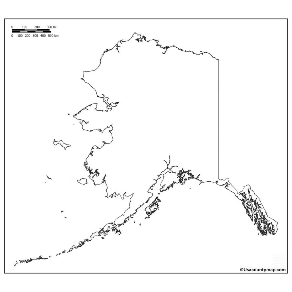
The Blank Alaska map outline is a blank, unmarked representation of Alaska’s borders, which makes it a very useful tool for educational activities. Its huge, literally frozen terrain is naturally filled with values to live, as geography, mountains, even the arctic ocean, as well as enormous coastlines, all of that made a Blank Alaska map outline a method for students and those who should identify the most important cities- include Anchorage, Alaska and Sure; and Denali, along with several of all of the other topography, rivers, and national parks, looks an infographics style.

The outline is used by teachers during interactive exercises aimed at helping students learn about Alaska’s geography, regions, and political boundaries. Blank Alaska map outline promotes map-reading skills and spatial awareness.
