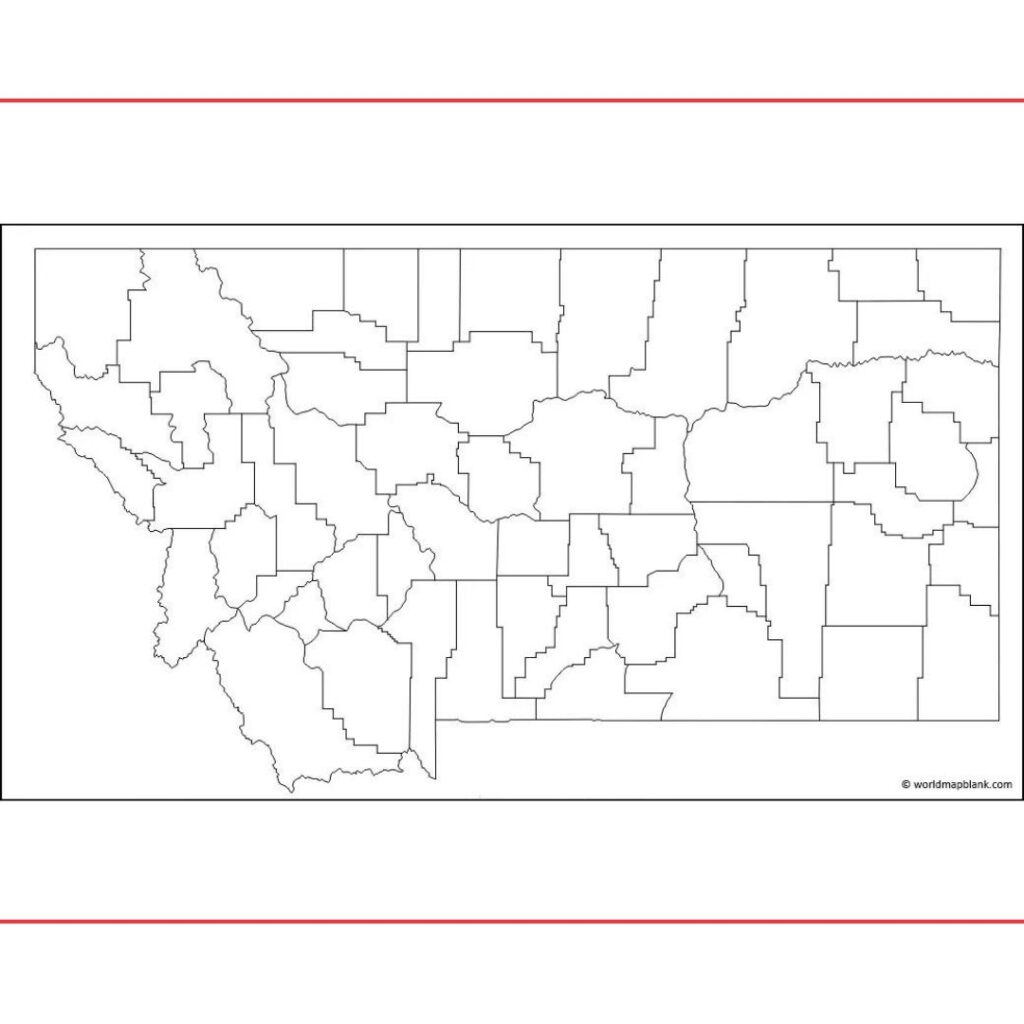
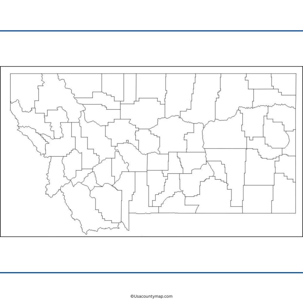
A Free Printable Blank Montana County Map is a wonderful educational resource that lets users learn about the geography of the state. Montana, with its diverse terrains and distinct characteristics, is an intriguing area to study, and a Blank Montana Map serves as an ideal platform for learning about the states cities, counties, rivers, and mountain ranges.
From students working on assignments in the classroom to travelers plotting their itinerary to researchers visualizing geographic information, a Blank Montana Map can be a handy tool for all sorts of activities. Students might label points of interest like Billings, Missoula, Bozeman, and the Rocky Mountains to help reinforce the east-west, north-south orientation of the layout of the state and its relationships to one another.

Teachers often use blank maps in geography lessons, quizzes and assignments as a way to promote hands-on learning and help the students become skilled at reading maps. Besides people, a Blank Montana Map can be used by professionals and planners or business as well for marking territories, finding natural resources, or presenting information of the area regions. Montana, with its vast land component — plains, forests, and of course, the iconic Yellowstone National Park — makes a strong case for being map-based. A Blank Montana Map — in paper or digital form — is a must-have tool for anyone looking to explore the geography and natural wonders of the Treasure State.
Free Blank Montana Map
Montana is a state in the northwestern region of the United States characterized by plains, mountains, wilderness areas, and many historic sites. The state includes a varied geography, from the Rocky Mountains to the Great Plains, and national parks like Yellowstone and Glacier. Helena is the state capital and Billings is the largest city.

Montana is known for its outdoor beauty and plenty of hiking, fishing and wildlife watching. It is hardly populated, thus among the states with a small population. However, it has a solid cultural heritage related to Native American, cowboy, and frontier history.
| City Name | Population | County | Area (sq mi) | ZIP Code(s) | Additional Information |
|---|---|---|---|---|---|
| Billings | 120,000+ | Yellowstone | 43.5 | 59101–59117 | Largest city in Montana; major hub for business, healthcare, and culture. |
| Missoula | 75,000+ | Missoula | 29.4 | 59801–59812 | Known for the University of Montana and outdoor recreational opportunities. |
| Great Falls | 60,000+ | Cascade | 23.6 | 59401–59405 | Gateway to the Great Falls of the Missouri River; strong in agriculture. |
| Bozeman | 55,000+ | Gallatin | 19.5 | 59715–59772 | College town; home to Montana State University and outdoor activities. |
| Helena | 33,000+ | Lewis and Clark | 16.5 | 59601–59602 | State capital; known for its historic architecture and gold rush history. |
| Billings | 120,000+ | Yellowstone | 43.5 | 59101–59117 | Major regional center for healthcare, business, and arts. |
| Kalispell | 23,000+ | Flathead | 13.6 | 59901 | Gateway to Glacier National Park; tourism and outdoor recreation focus. |
| Butte | 34,000+ | Silver Bow | 19.3 | 59701–59750 | Rich in mining history; known for its diverse cultural heritage. |
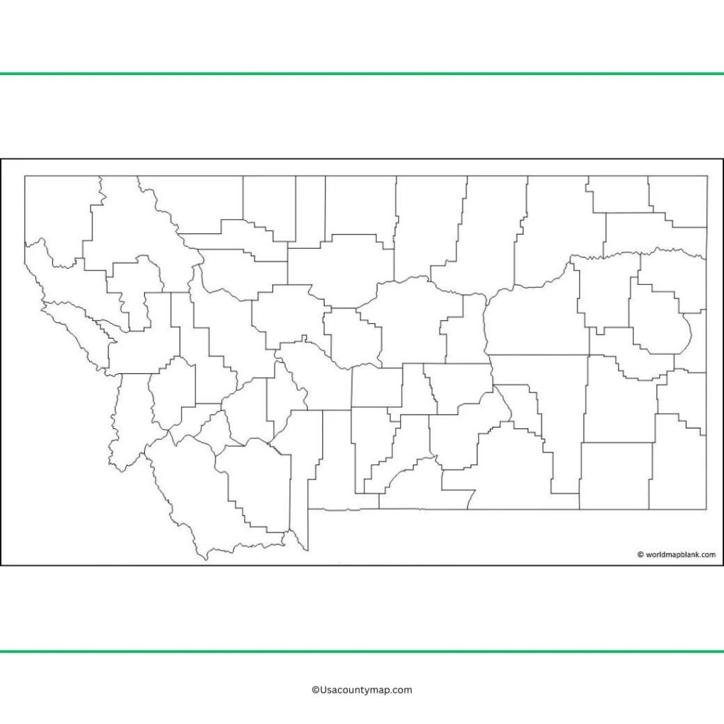
Printable Blank Map of Montana Worksheet
The Montana map worksheet is a perfect educational tool for students to understand the geography and physical features of the state. These worksheets typically feature blank or partially labeled maps where students can identify important places, including Billings and Missoula, the Rocky Mountains and large waterways like the Missouri and Yellowstone.
Teachers use a Montana map worksheet to reinforce lessons on map-reading skills, physical regions, and important landmarks. So it’s perfect for classroom activities, quizzes and assignments, allowing students to explore the state’s diverse landscapes. This interactive option makes discovering Montana’s geography fun and educational.
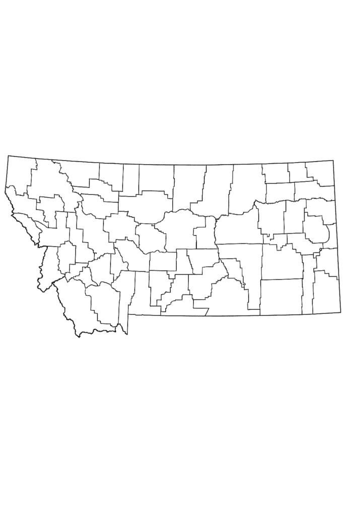
Printable Montana Map Outline PDF
A template for making a map for Montana outline. With no internal labels or specifics, this is the type of map that invites users to identify important geographic landmarks, like the Rocky Mountains and the Great Plains and major cities like Billings and Helena. 
For example, an outline map of Montana is often used in classrooms for labeling exercises, teaching map-reading skills, or studying physical geography. It’s also a handy tool for building projects, laying out locations and showing off the state’s unique landscape.
