A blank Rhode Island map is an educational tool that allows you to interactively explore the geography of Rhode Island by providing you with a simple outline of the state that is unmarked. It governs Rhode Island, which is the smallest state in the US, located in the New England region, east of the country, set on the Atlantic Ocean, known for its location on the coast and maritime history. The Blank Rhode Island Map can help students and geography lovers know about the boundaries, cities, rivers, bordering states, and more about the state.
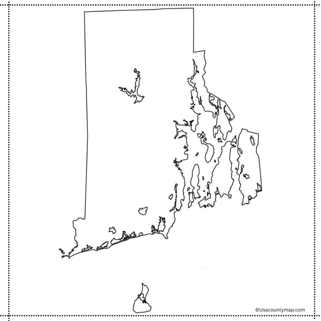
With a Blank Rhode Island Map, students can label major cities, including the capital city of Providence and Warwick, as well as important physical features like Narragansett Bay and the Pawtuxet River. Teachers often use this map in classroom activities to help kids build map-reading and spatial skills. The Blank Rhode Island Map could be used in geography quizzes, coloring exercises, or projects that focus on Rhode Island’s role in American history, particularly during the colonial period and the Revolutionary War. The interactive map allows learners to explore the geography of the state, offering a more visual and concrete grasp of its unique place in the script of the larger United States.
Free Blank Rhode Island Map
Rhode Island, the smallest state in the U.S., is famed for its historic colonial roots, picturesque coastline, and lively culture. This is true of the United States, as it is geographically located in the New England region and became one of the original thirteen colonies that helped form the country and the country’s revolution.
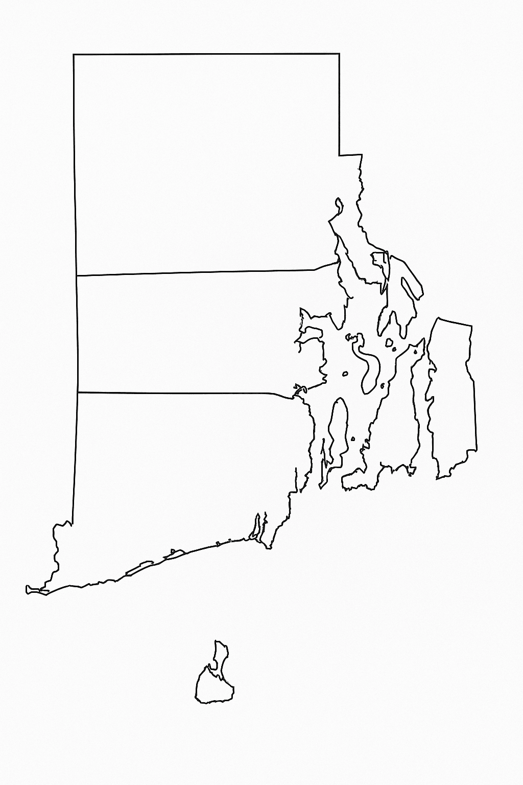
Rhode Island is small in size but dense in population and includes cities like Providence, which is the state capital. The state, known for its lovely beaches, sailing culture, and historic mansions in Newport, Rhode Island, with a big focus on education and healthcare, along with tourism, is a combination of tradition and present-day life.
| City Name | Population | County | Area (sq mi) | ZIP Code | Additional Information |
|---|---|---|---|---|---|
| Providence | 189,697 | Providence | 21 | 2903 | Capital city; home to Brown University |
| Warwick | 82,823 | Kent | 49.6 | 2886 | Known for T.F. Green Airport |
| Cranston | 82,934 | Providence | 30 | 2910 | Suburb of Providence; strong residential area |
| Pawtucket | 75,604 | Providence | 9 | 2860 | Historic textile industry center |
| East Providence | 47,139 | Providence | 13 | 2914 | Located along the Seekonk River |
| Woonsocket | 43,240 | Providence | 8 | 2895 | Headquarters of CVS Health |
| Newport | 25,163 | Newport | 11.4 | 2840 | Famous for Gilded Age mansions and sailing |
| Central Falls | 22,583 | Providence | 1.3 | 2863 | Densely populated; smallest city by area in RI |
Printable Rhode Island Map worksheet
This is a Rhode Island map worksheet which can be used to introduce the students to the geography of the smallest U.S. state. Normal maps would typically feature things like cities (Providence, Newport), counties and bodies of water (Narragansett Bay) among other details.
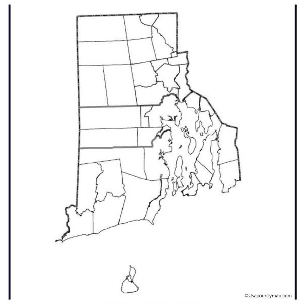
The worksheets can be used in classrooms as an exercise to deepen map-reading skills, build knowledge about the state, and support history or social studies lessons. Whether applicable to coloring, labeling, or quiz practicing, a Rhode Island map worksheet promotes interaction with learning and helps students learn more about the state’s roads, locations, and geographical importance.
Rhode Island Map Outline PDF
A Rhode Island map outline is a blank, unmarked outline of the state’s shape and state lines, which can be helpful for educational and creative purposes. Rhode Island, the smallest state in the U.S., has coastal geography that includes many bays and inlets — most famously, Narragansett Bay. The map can help students and educators label major cities, rivers, and areas of the state, and gain a better understanding of its geography.
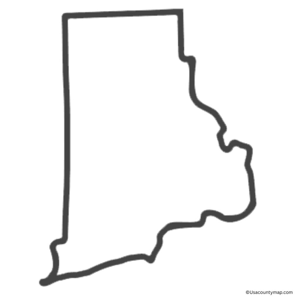
It is also great for classroom exercises, quizzes, and art projects. Offering a tactile approach to exploring and appreciating the geography of this historic state, a Rhode Island map outline provides a hands-on opportunity to engage with this topic.

