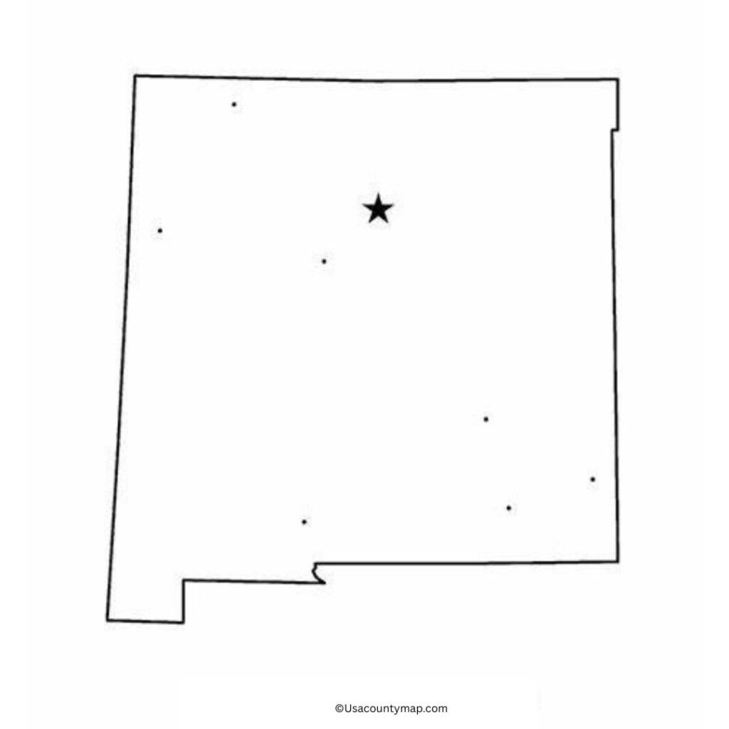
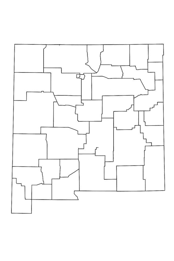
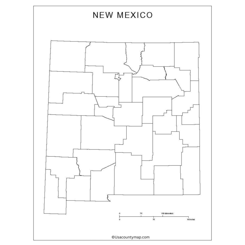
A free printable blank high-resolution map of New Mexico County is available for free download and can be printed. Suitable for students, researchers, and travelers interested in the state. This unmarked map format enables users to learn geography and test their knowledge of counties, cities, and natural features, such as plane travel or education activities. The Blank New Mexico Map is particularly useful in classrooms, where students can check their knowledge of state geography, trace routes, or mark significant landmarks, including the Rio Grande, the Sangre de Cristo Mountains, or historic towns, such as Santa Fe and Taos.

With a rich mix of Native American, Hispanic,c, and Anglo cultures, New Mexico’s geography mirrors that variety, encompassing wide deserts, foothills, high plains, and picturesque mountains. Users can learn interactivity by exploring these areas and customizing the map for historical, cultural, or environmental studies using a Blank New Mexico Map. If you’d like to find state parks, retrace historical trading routes, or just get familiar with the state’s counties and cities, this multi-use tool offers a clear, customizable layout. Whether for educational purposes or travel planning, a Blank New Mexico Map engages you more interactively with the Land of Enchantment.
Free Printable Blank New Mexico Map
New Mexico is such a uniquely rich tapestry of culture and natural beauty. Texas, Arizona, Colorado, and the Mexico border form this southwestern state. New Mexico has a variety of landscapes, including deserts, mountains, and forests.

Its cities, including Albuquerque and Santa Fe, offer a distinctive mix of Native American, Hispanic, and Anglo influences. New Mexico is also known for its art, cuisine, and adobe architecture. Whether you come for its picturesque landscape or its colorful traditions, New Mexico is a fascinating place to visit.
| City Name | Population | County | Area (sq mi) | ZIP Code(s) | Additional Information |
|---|---|---|---|---|---|
| Albuquerque | 564,559 | Bernalillo | 190 | 87101–87199 | Largest city in New Mexico; cultural hub |
| Las Cruces | 111,385 | Doña Ana | 76.6 | 88001–88013 | Home to New Mexico State University |
| Rio Rancho | 105,834 | Sandoval | 104 | 87124, 87144 | Fast-growing suburb of Albuquerque |
| Santa Fe | 88,193 | Santa Fe | 52 | 87501–87508 | State capital; known for art and architecture |
| Roswell | 47,596 | Chaves | 30 | 88201–88203 | Famous for 1947 UFO incident |
| Farmington | 46,624 | San Juan | 32 | 87401–87499 | Key center for energy production |
| Clovis | 38,342 | Curry | 23.4 | 88101–88102 | Military community; home to Cannon AFB |
| Hobbs | 39,066 | Lea | 26.4 | 88240–88242 | Located in oil-rich Permian Basin |
| Alamogordo | 31,384 | Otero | 19.3 | 88310–88311 | Near White Sands National Park |
| Carlsbad | 32,238 | Eddy | 29.2 | 88220–88221 | Gateway to Carlsbad Caverns National Park |
Printable Map of New Mexico Worksheet
A New Mexico map worksheet is a worksheet that provides students with a guide to learn about the geography, major cities, and physical features of the state of New Mexico. These worksheets often involve blank maps that students fill in with Santa Fe, Albuquerque, and the Rio Grande River.

They also indicate key landmarks, borders with neighboring states, and natural features such as deserts and mountains. These worksheets help students develop their map-reading skills, improve spatial awareness, and learn where New Mexico is within the U.S. Great for classroom activities, homework, and angiography-themed lessons by state for any grade level.
New Mexico Map Outline PDF
An outline of the New Mexico map shows a simple representation of the state and its borders. This kind of map usually only displays the outline of the state’s border, free from any prints inside, making it ideal for different educational or creative purposes.

A New Mexico map outline is frequently used by students and educators to label cities, rivers, mountain ranges, or neighboring states. It can be a useful exercise for students to learn about regional geography, practice map skills, or customize it as part of a project. New Mexico Map Outline For Coloring Quizzes Teaching State History.
